Southern Africa is heading into a rainfall season shaped by a rapidly strengthening El Niño, with forecasters warning that most of the region will receive below-normal rainfall between October and December this year.

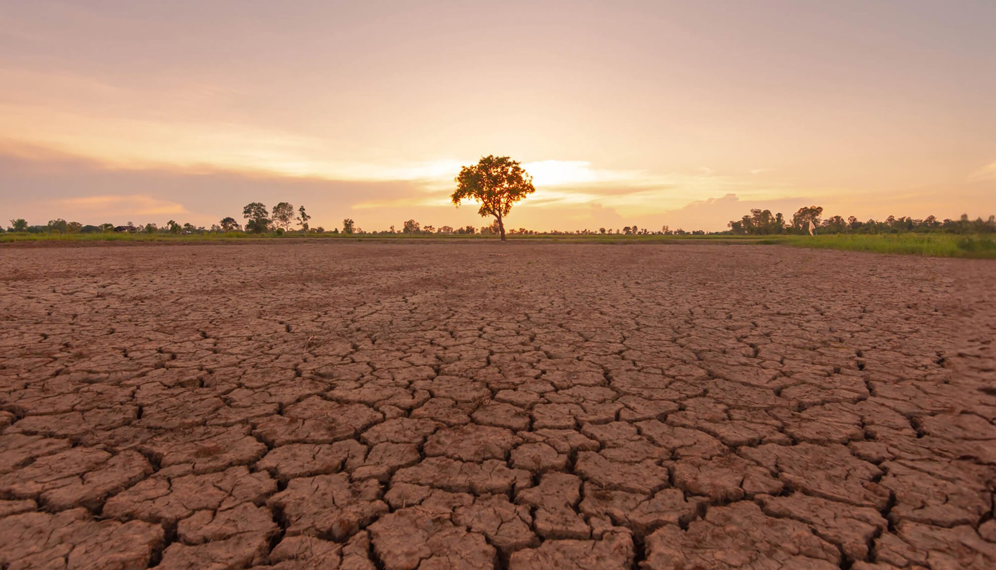

JOHANNESBURG – Southern Africa is heading into a rainfall season shaped by a rapidly strengthening El Niño, with forecasters warning that most of the region will receive below-normal rainfall between October and December this year. That is the central message from the Thirty-Third Southern Africa Regional Climate Outlook Forum, known as SARCOF-33, held in Swakopmund, Namibia, from 25 to 28 August 2026.
The forum, which brought together climate scientists from the SADC National Meteorological and Hydrological Services and the SADC Climate Services Centre, issued a consensus outlook covering the main rainfall season from October 2026 through March 2027. The findings will matter to millions of farmers, water managers and disaster planners across the region, many of whom are still recovering from earlier droughts and floods linked to shifting rainfall patterns.
According to the statement, “the bulk of the SADC region is likely to receive below-normal rainfall during October–November–December (OND) 2026.” That drier pattern is expected to stretch across much of Angola, southern Zambia, Zimbabwe, Mozambique, Namibia, Botswana, most of South Africa, Eswatini and Lesotho, with forecasters expressing high confidence in that projection.
Not every part of the region faces the same fate. The forum found that “normal to above-normal rainfall is expected over most of the DRC, northwestern Angola, northern Zambia, central Malawi, northern Mozambique, the southern fringes of Tanzania and Comoros.” Eastern DRC, most of Tanzania, the far north of Malawi and Zambia, and Seychelles are expected to see the wettest conditions, with above-normal rainfall forecast there with high confidence.
The southwestern coastal belt of South Africa, along with western and southwestern Madagascar and Mauritius, is expected to see normal to below-normal rainfall during this first stretch of the season.
The picture changes somewhat as the season progresses. For the January to March 2027 period, the forum expects “below-normal rainfall over most of the central and southern parts of the SADC region, particularly across Angola, Namibia, Botswana, Zimbabwe, Zambia and parts of South Africa.” Southern Mozambique, northern South Africa, Eswatini, Lesotho and parts of Madagascar are expected to sit in a normal-to-below-normal band.
Northern parts of the region tell a different story. The DRC, northern Zambia, northern Malawi, northern Mozambique, parts of Tanzania and Seychelles are forecast to receive normal to above-normal rainfall, with eastern Tanzania and Comoros particularly favoured for wetter conditions. Mauritius, too, is expected to see normal to above-normal rainfall by this stage of the season.
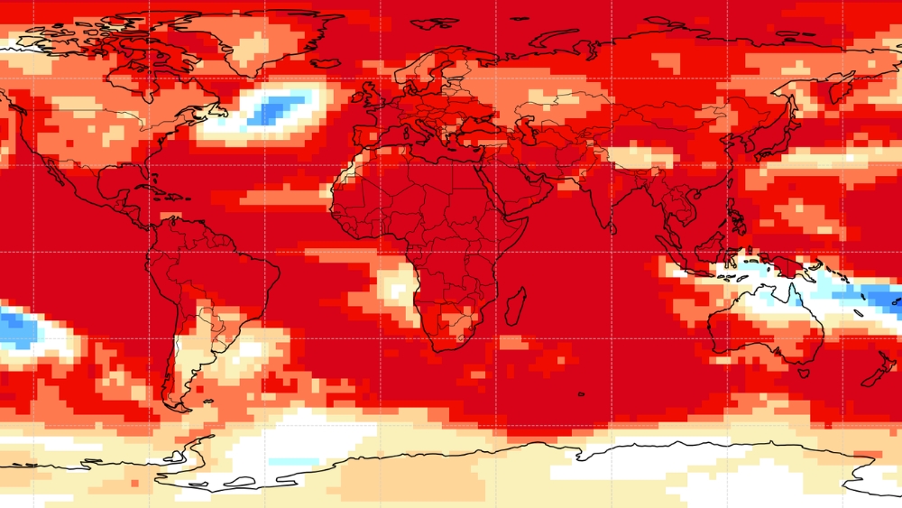
Temperatures are also expected to run hot. The forum’s temperature outlook for October 2026 to January 2027 points to “a forecast in favour of mostly above the long-term averages over the whole of the SADC region,” although it notes that some central parts of the region could see cooler-than-usual conditions.
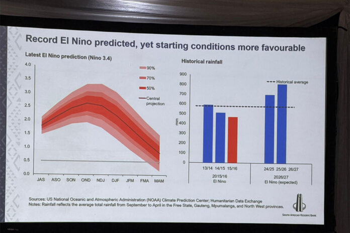
Behind these projections sits a familiar but intensifying climate driver. The statement notes that “El Niño conditions are currently established in the tropical Pacific and are expected to strengthen further, with most models indicating a strong to very strong event, and peak intensity expected around the OND 2026 period.”
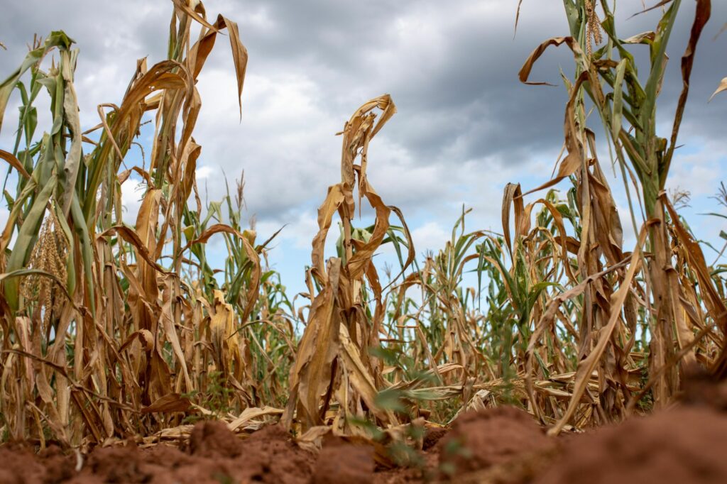
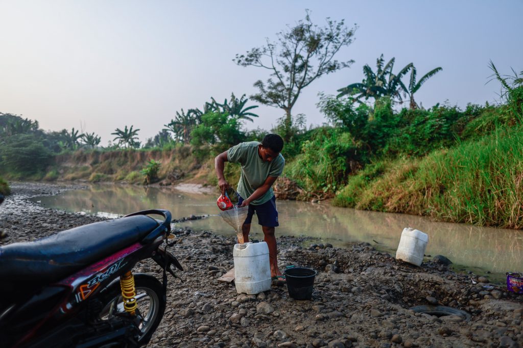
El Niño events have historically been associated with drought conditions across the central and southern parts of Southern Africa, a pattern that played out during the severe 2015/16 and 2023/24 droughts that hit maize production and pushed up food prices across the region.
ALSO READ: SADC Disaster Management Officials Meet in Zimbabwe as Region Faces Growing Climate Threats
Adding a second layer of complexity, the forum flagged the Indian Ocean Dipole, a pattern of sea-surface temperature contrasts across the Indian Ocean that can amplify or dampen El Niño’s effects on rainfall.
The statement explains that the IOD “is currently neutral; however, the latest model guidance indicates a high likelihood of a strong positive IOD developing by September 2026 and persisting through OND, before weakening towards neutral conditions during early 2027.”
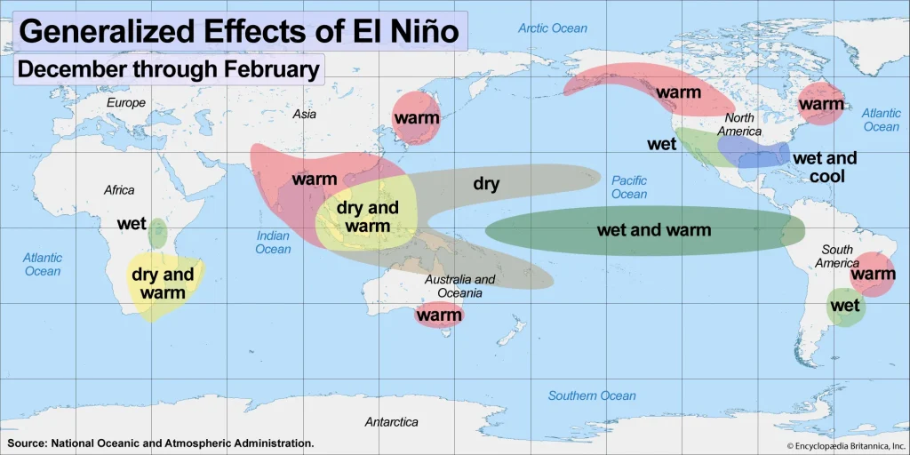
Climate scientists at the forum said the interaction between these two drivers, along with other regional factors such as the Angola Low, the Botswana-Kalahari circulation and moisture transport patterns, will shape how the season actually plays out on the ground. The forum’s overview of dynamical model guidance from global producing centres, including the European Centre for Medium-Range Weather Forecasts, the United States’ National Oceanic and Atmospheric Administration, the UK Met Office and others, broadly supports the below-normal rainfall signal over the central and southern SADC region, even as the strength of that signal varies from model to model and period to period.
The forum was careful to frame the limits of its own forecast. The statement warns that the outlook “is relevant only to seasonal (overlapping three-monthly) timescales and relatively large areas and may not fully account for all factors that influence regional and national climate variability, such as local and month-to-month variations.”
It goes further, stating plainly that the outlook “must not be interpreted as indicating probable rainfall anomalies at sub-regional, country-level and local spatial scales.” Farmers, disaster management agencies and water authorities are urged to consult their national meteorological services for more localised interpretation and regular updates as the season unfolds.
SARCOF has issued a consensus seasonal outlook every year since the mid-1990s, and its findings feed directly into national drought contingency planning, agricultural input decisions and humanitarian preparedness across the SADC bloc.
ALSO READ: Second Africa Climate Summit (ACS2) Sets the Stage for African Leadership and Real Climate Impact
This year’s gathering carried added weight given the scale of the forecast El Niño event and the memory of the 2023/24 El Niño-driven drought, which the World Food Programme and other partners linked to significant crop failures and rising food insecurity in parts of Zambia, Zimbabwe, Malawi and Mozambique.
The 33rd forum was supported by a broad coalition of partners, including the World Food Programme, the UK’s Met Office through its Wiser programme, the Food and Agriculture Organisation of the United Nations, the UN Office for Disaster Risk Reduction, the Global Water Partnership Southern Africa and GIZ, alongside the host government of Namibia and SADC member states.
For a region where the difference between a normal and a failed rainy season can mean the difference between a stable harvest and a hunger crisis, the message from Swakopmund is one that national governments, farmers and disaster planners will be watching closely in the months ahead.